Travel Guide of Penrith in United Kingdom by Influencers and Travelers
Penrith North Lakes railway station is located on the West Coast Main Line in the United Kingdom. It serves the town of Penrith, Cumbria, and is less than 1 mile from its centre.
Plan your trip in Penrith with AI 🤖 🗺
Roadtrips.ai is a AI powered trip planner that you can use to generate a customized trip itinerary for any destination in United Kingdom in just one clickJust write your activities preferences, budget and number of days travelling and our artificial intelligence will do the rest for you
👉 Use the AI Trip Planner
The Best Things to Do and Visit around Penrith
Disover the best Instagram Spots around Penrith here
1 - Angle Tarn
Angle Tarn is a tarn in Cumbria, England, within the Lake District National Park, about a mile north-east of Hartsop. Located at an altitude of 479 m, the lake has an area of 5.9 hectares, measures 385 by 260 m, with a maximum depth of 9 m.
Learn more Book this experience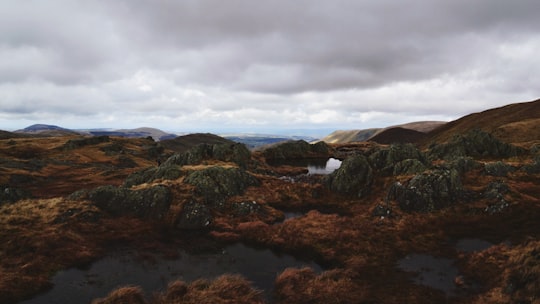

2 - Ullswater
Ullswater is the second largest lake in the English Lake District, being about 7 miles long and 0.75 miles wide, with a maximum depth a little over 60 metres. It was scooped out by a glacier in the Last Ice Age.
Learn more Book this experience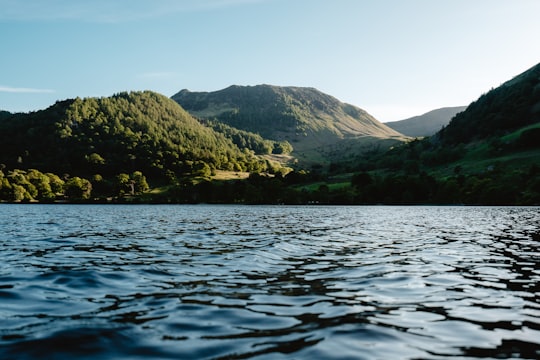

3 - Sightseeing | Windermere
16 km away
Get off the beaten track and enjoy a full-day tour exploring the Western Lake District. Drive over England’s steepest passes, admire the stunning Wast water and visit the beautiful Muncaster Castle.
Learn more
4 - Haweswater Reservoir
6 km away
Haweswater is a reservoir in the valley of Mardale, Cumbria in the Lake District, England. Work to raise the height of the original natural lake was started in 1929.
Learn more Book this experience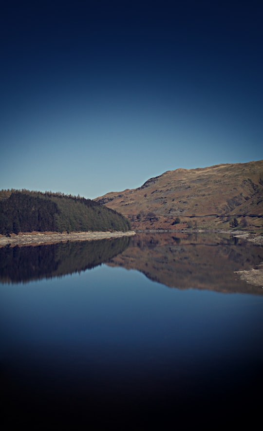

5 - Helvellyn
7 km away
Helvellyn is a mountain in the English Lake District, the highest point of the Helvellyn range, a north–south line of mountains to the north of Ambleside, between the lakes of Thirlmere and Ullswater.
Learn more Book this experience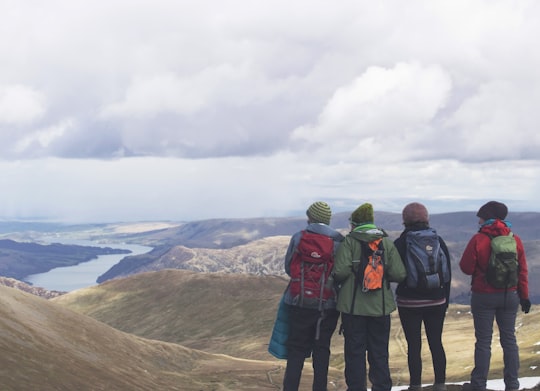
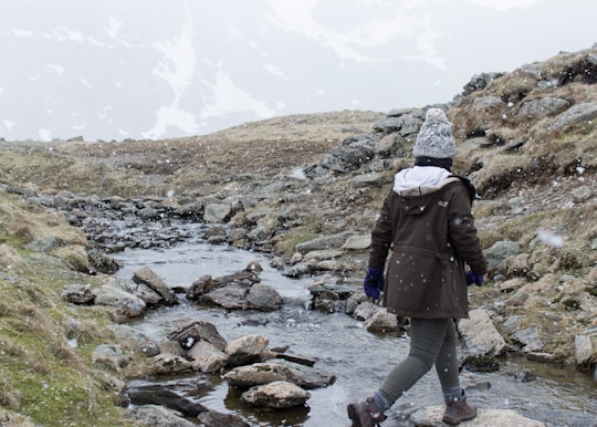
6 - Hiking | Windermere
16 km away
Get off the beaten track and enjoy a full-day tour exploring the Western Lake District. Drive over England’s steepest passes, admire the stunning Wast water and visit the beautiful Muncaster Castle.
Learn more
7 - Ambleside
11 km away
Ambleside is a town and former civil parish, now in the parish of Lakes, in Cumbria, in North West England. Historically in Westmorland, it marks the head of Windermere, England's largest natural lake.
Learn more
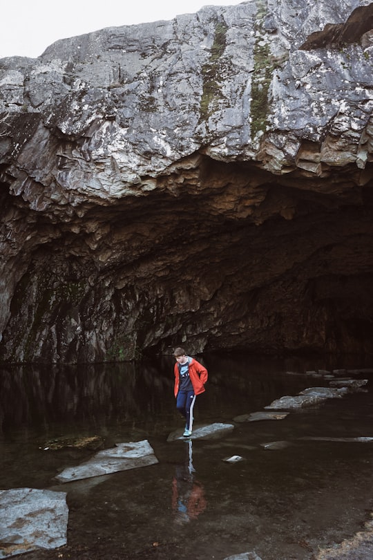
8 - Rydal Cave
11 km away
Learn more
9 - Morning | Windermere Tourist Information Centre
16 km away
Nowhere typifies "England's green and pleasant land" quite like the Lake District. But don't take our word for it, see for yourself! This eight-hour, narrated round trip takes you across England's lush terrain, where you'll be enveloped in rolling hills and deep blue lakes. Visit the 4,000-year-old Castlerigg Stone Circle, and ten of the area's most remarkable lakes. Take in mountain views, sloping valleys, gushing waterfalls, and quaint villages, with plenty of photo stops included!
Learn more
10 - Hallin Fell
13 km away
Hallin Fell is a hill in the English Lake District surrounded on three sides by Ullswater.
Learn more Book this experience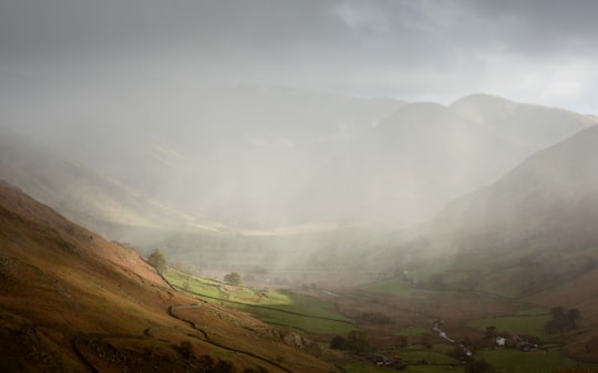

11 - Elterwater
13 km away
Elterwater is a village in the English Lake District and the county of Cumbria. The village lies half a mile north-west of the lake of Elter Water, from which it derives its name. Both are situated in the valley of Great Langdale.
Learn more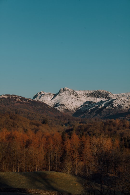
12 - Lake District National Park
14 km away
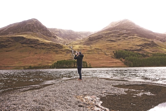
The Lake District, also known as the Lakes or Lakeland, is a mountainous region in North West England. A popular holiday destination, it is famous for its lakes, forests and mountains, and its associations with William Wordsworth and other Lake Poets and also with Beatrix Potter and John Ruskin.
Learn more Book this experience
13 - Pavey Ark
15 km away
Pavey Ark is a fell in the English county of Cumbria. It is one of the Langdale Pikes, lying to the north of Great Langdale, in the heart of the Lake District, immediately to the north-east of Harrison Stickle.
Learn more Book this experience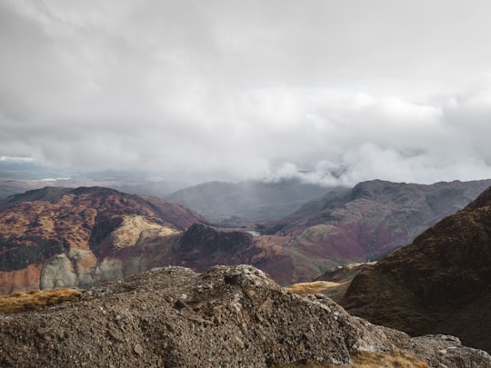
14 - Lingmoor Fell
15 km away
Lingmoor Fell is a fell in the English Lake District, situated eight kilometres west of Ambleside. The fell reaches a height of 469 m and divides the valleys of Great Langdale and Little Langdale.
Learn more Book this experience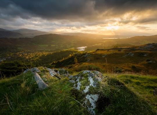
15 - Windermere
16 km away
Windermere is the largest natural lake in England. It is a ribbon lake formed in a glacial trough after the retreat of ice at the start of the current interglacial period.
Learn more Book this experience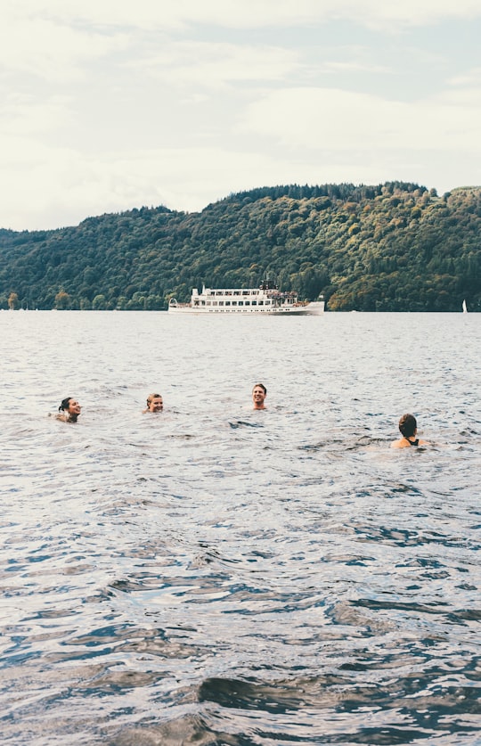

16 - Keswick
17 km away
Keswick is a market town and civil parish in the Allerdale Borough in Cumbria, England. Historically, until 1974, it was part of Cumberland.
Learn more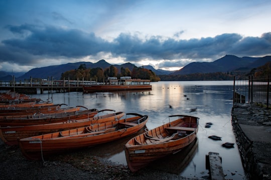

17 - Tarn Hows
17 km away
Tarn Hows is an area of the Lake District National Park in North West England, It contains a picturesque tarn, approximately 2 miles northeast of Coniston and about 1.5 miles northwest of Hawkshead.
Learn more Book this experience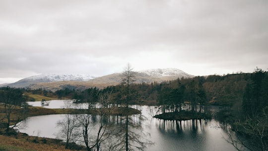
18 - Catbells
18 km away
Cat Bells is a fell in the English Lake District in the county of Cumbria. It has a height of 451 metres and is one of the most popular fells in the area.
Learn more Book this experience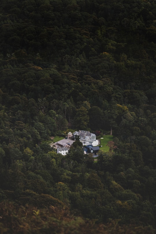
19 - Holme Fell
18 km away
Holme Fell or Holm Fell is a fell in the Lake District in Cumbria, England. It is located between Coniston Water and Little Langdale, almost isolated from the neighbouring Coniston Fells by Yewdale Beck.
Learn more Book this experience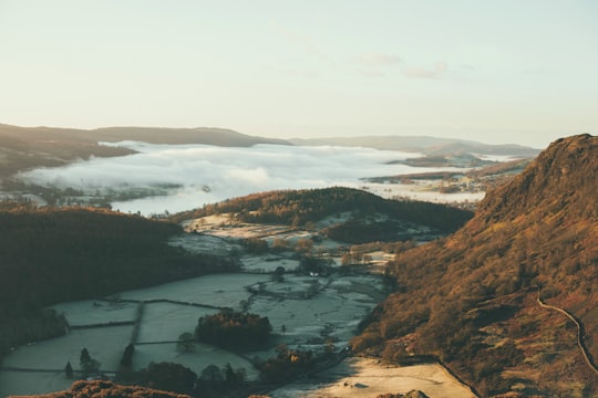
20 - Honister Pass
20 km away
Honister Pass is a mountain pass in the English Lake District. It is located on the B5289 road, linking Seatoller, in the valley of Borrowdale, to Gatesgarth at the southern end of Buttermere.
Learn more Book this experience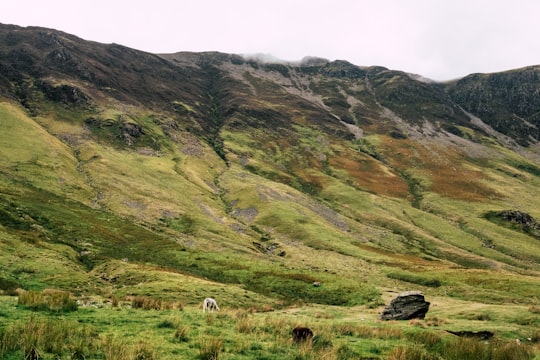
21 - Scafell Pike
21 km away
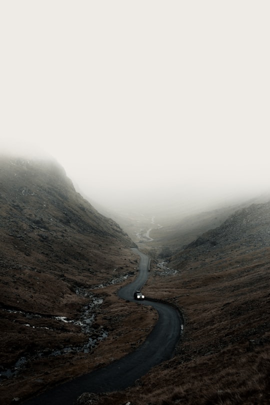
Scafell Pike is the highest and the most prominent mountain in England, at an elevation of 978 metres above sea level. It is located in the Lake District National Park, in Cumbria, and is part of the Southern Fells and the Scafell massif.
Learn more Book this experience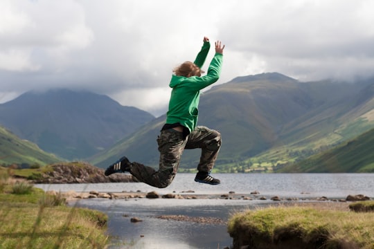
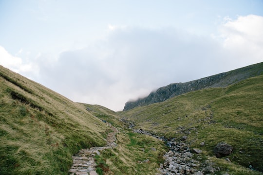
22 - Great Gable
22 km away
Great Gable is a mountain in the Lake District, United Kingdom. It is named for its appearance as a pyramid from Wasdale, though it is dome-shaped from most other directions.
Learn more Book this experience
23 - Thirlmere
24 km away
Thirlmere is a reservoir in the Borough of Allerdale in Cumbria and the English Lake District. The Helvellyn ridge lies to the east of Thirlmere.
View on Google Maps Book this experience
Book Tours and Activities in Penrith
Discover the best tours and activities around Penrith, United Kingdom and book your travel experience today with our booking partners
Where to Stay near Penrith
Discover the best hotels around Penrith, United Kingdom and book your stay today with our booking partner booking.com
More Travel spots to explore around Penrith
Click on the pictures to learn more about the places and to get directions
Discover more travel spots to explore around Penrith
⛰️ Hill spots 🏞️ Loch spots ⛰️ Hill station spots 🏞️ Lake spots 🏞️ Reservoir spots 🏖️ Shore spotsTravel map of Penrith
Explore popular touristic places around Penrith